
Project
Project: OPFRAME
- C++
- C# / .NET
- WinUI 3 / Windows App SDK
- Direct3D 12
- HLSL
- Graphics Programming
- Real-Time Visualisation
- GIS and Mapping
- APP-6 / MIL-STD-2525
- Application Development
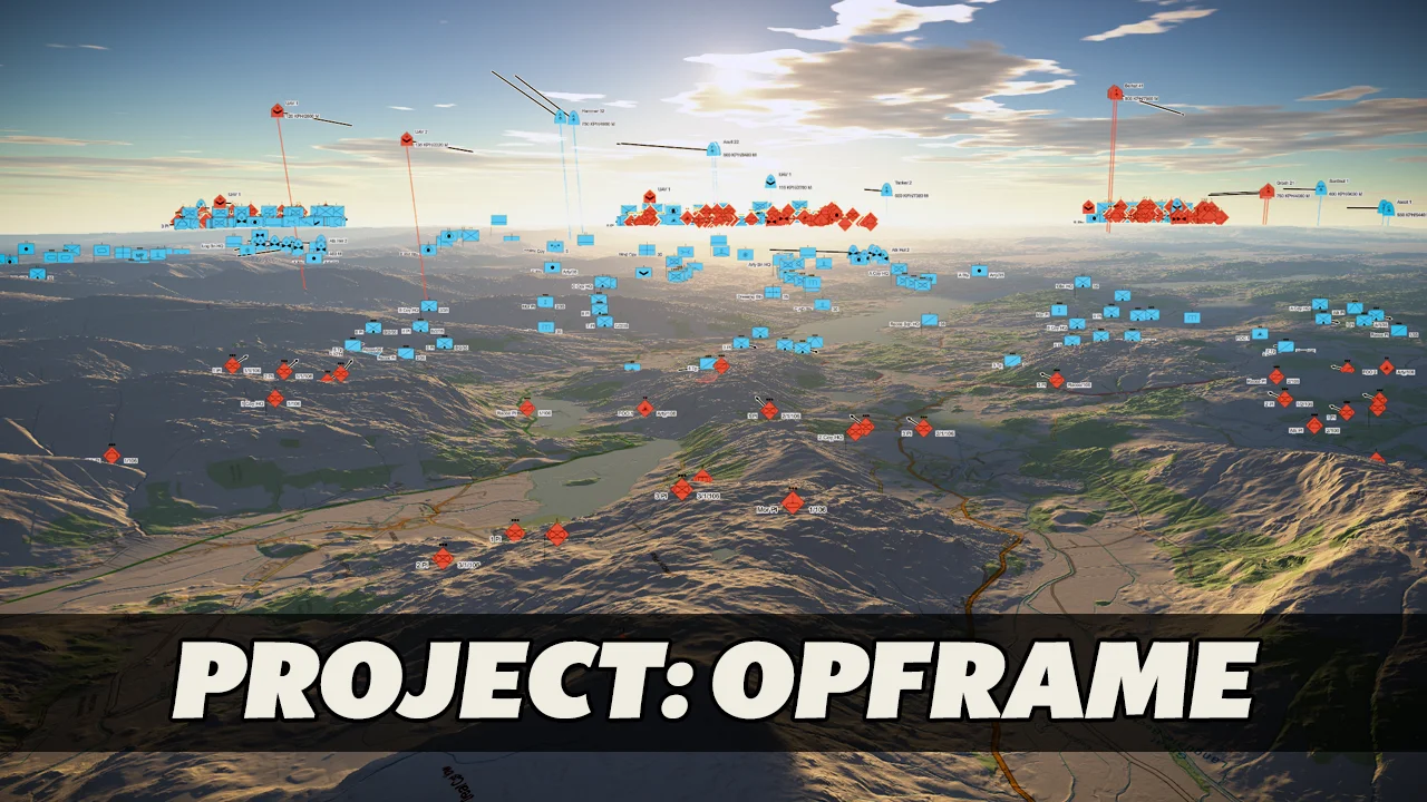
OPFRAME (short for Operational Framework) is a Windows desktop application for viewing map data in 2D and 3D, with military symbology drawn over the top. It's a personal project, still at the prototype stage, and I'm actively working on it.
What it is
At heart it's a mapping and visualisation tool. Imagery, elevation and LIDAR are streamed in as tiles and drawn on the GPU, and you can go from a view of the whole globe right down to detail at the metre scale. On top of that sits everything that makes up an operational picture: units and equipment shown as APP-6 symbols, the overlays used to plan with them, and the orders of battle they belong to.
I made it a native application rather than a web map on purpose. Between the amount of data, the frame rate a 3D terrain view needs, and having to run with no network connection at all, most of the work ends up on the GPU, through Direct3D 12.
The 2D and 3D views
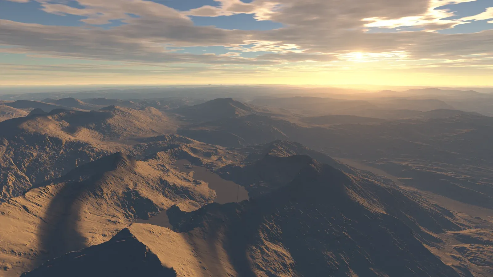
There's a 3D perspective view and a north-up 2D map, and they share the same tile system and the same rendering code. The only real differences are the camera and how the tiles are chosen. The terrain is a curved mesh on the WGS84 ellipsoid, raised up by the elevation data, with mipmapped imagery draped over it, hill shading, and contour lines worked out per pixel. The sky comes from an atmospheric scattering model, so the light follows wherever the sun would be at any date and time, and there's aerial perspective, cloud and bloom too.
Positions are kept in double precision on the CPU and only reach the GPU relative to the camera, which keeps everything precise wherever you are on the globe.
Symbology and overlays
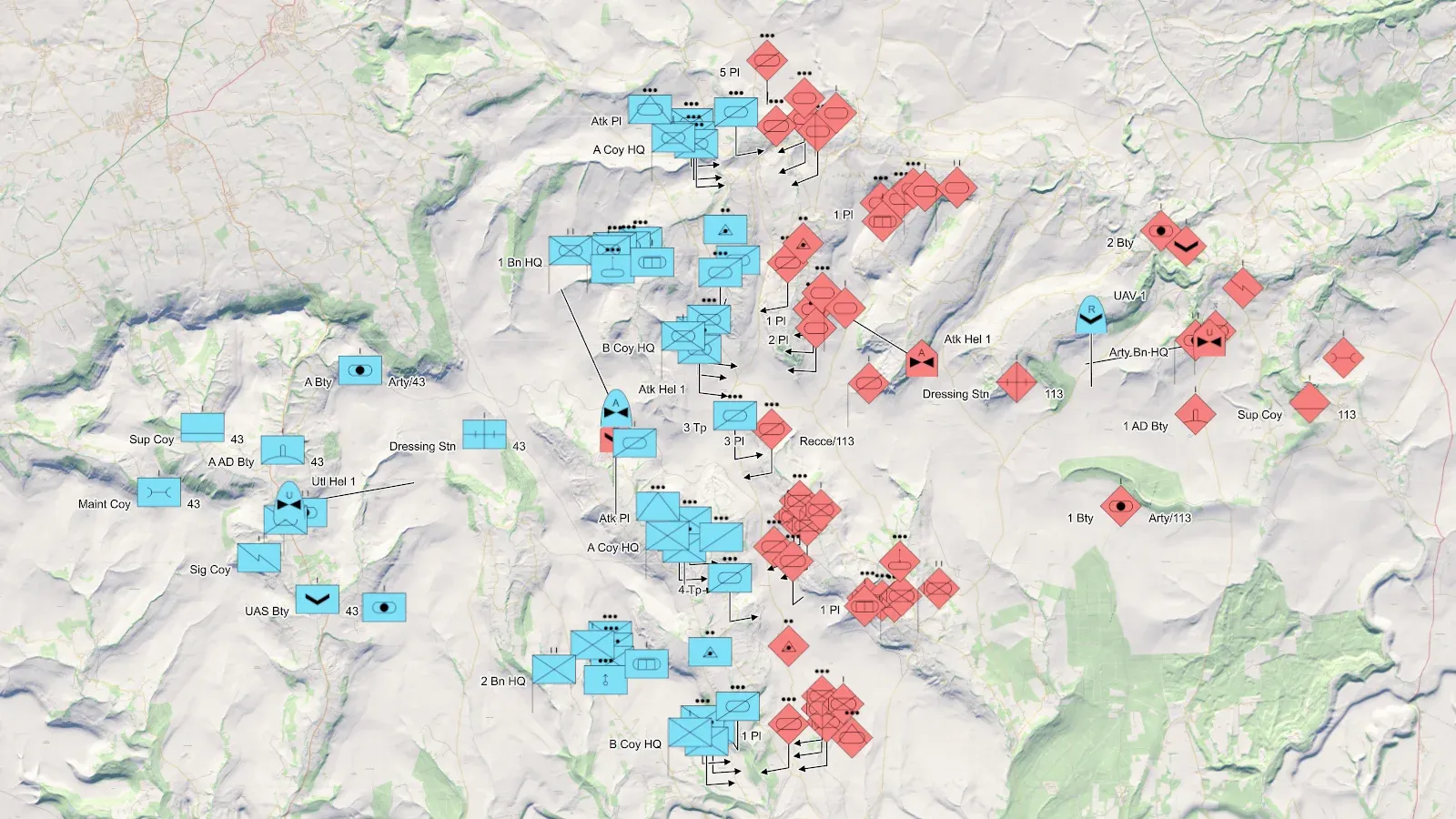
Entities are drawn with their APP-6(D) / MIL-STD-2525D symbols, from a SIDC in either the 15-character or the 20-digit form. That includes direction-of-movement arrows, speed leaders, operational condition, and the text APP-6 puts around the frame, which is decluttered by priority when things get crowded. Ten thousand moving entities can be placed in under a millisecond per frame.
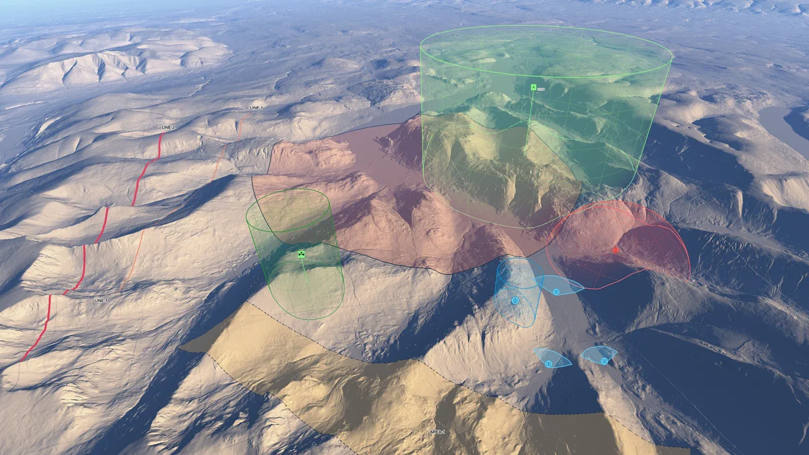
Overlays are drawn per pixel in the terrain shader, so they follow the hills and valleys at every level of detail. There are range rings and sectors, translucent domes for air defence envelopes, line-of-sight coverage from a viewshed calculated on worker threads, and tactical graphics.
Orders of battle
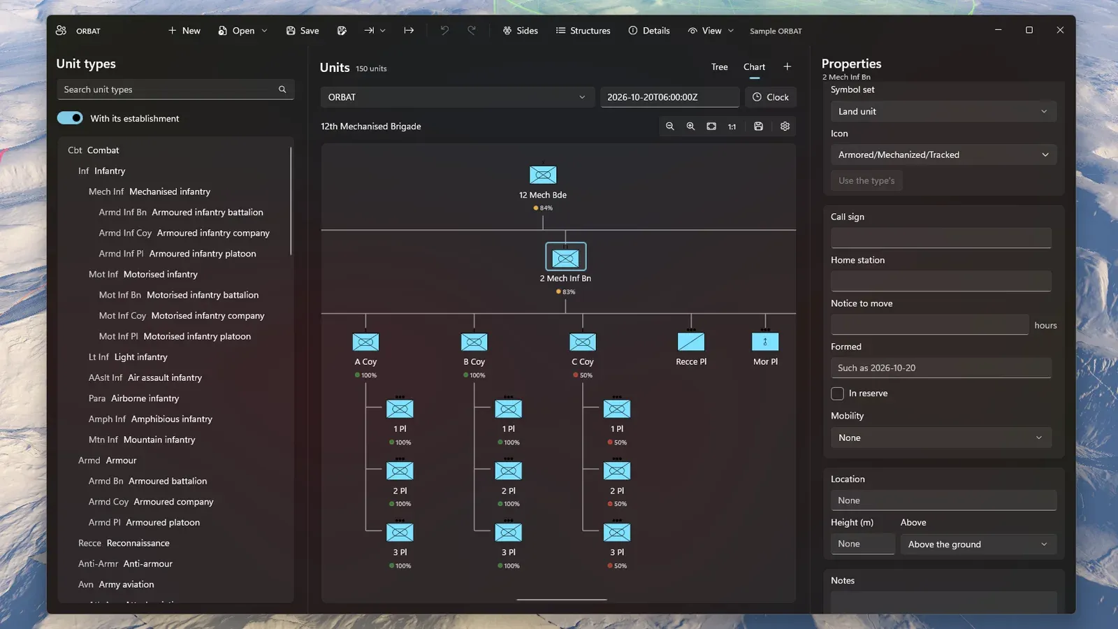
The ORBAT editor has a window of its own, for building and reorganising orders of battle. It handles a tree of thousands of units, an org chart for briefings, task organisations that change over time, and holdings against establishment. Doctrine isn't hard-coded; it's loaded from data packs. Units are matched to their APP-6 symbols by rules, and you can drag them onto the map as entities that stay linked to the unit. ORBATs can be exchanged with other systems using C2SIM, or imported from spreadsheets.
How it is built
- A C# WinUI 3 front end (.NET 10, MVVM) on top of a native C++20 Direct3D 12 renderer, which runs on its own thread. The only link between the two is a flat C API.
- The geo, scene, imaging, symbology and analysis code lives in separate native libraries that don't depend on Direct3D, so they can be tested without a graphics device.
- Reverse-Z depth with an infinite far plane. Uploads go through textures created up front, so nothing is allocated on the GPU while you're flying around, and it recovers if the graphics device is lost.
- No installer and no administrator rights needed. It's unpackaged and self-contained, so you just copy it and run it.
The data
While it's in development, everything it shows is open data. OPFRAME isn't tied to that, though, and can just as well use custom or client-specific data sets. The open data is prepared offline by a companion tool. Worldwide, that's NASA imagery, AWS Terrain Tiles and the Copernicus DEM. There's also 1 m LIDAR from the Welsh Government and the Environment Agency, built into terrain at about 1.5 m, along with Ordnance Survey's open maps and the USGS topographic maps. Place search runs over OS Open Names, which covers 1.26 million places, and finds them in well under a millisecond as you type.
The repository is private for now, but get in touch if you'd like to see it running.
Videos
Watch it being built
Video · Oct 2026
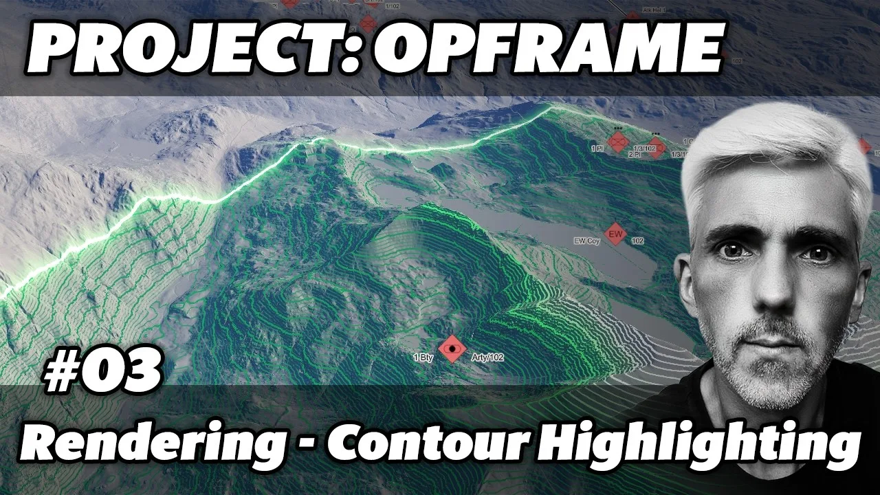
OPFRAME #03 - Rendering Contour Highlights - Enhanced Feedback (opens in a new tab)
A demonstration of the terrain contour highlighting.
Video · Oct 2026
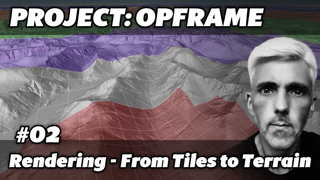
OPFRAME #02 - Rendering the Earth at Scale - From Tiles to Terrain (opens in a new tab)
A quick overview of how OPFRAME handles the Earth and its terrain.
Video · Oct 2026
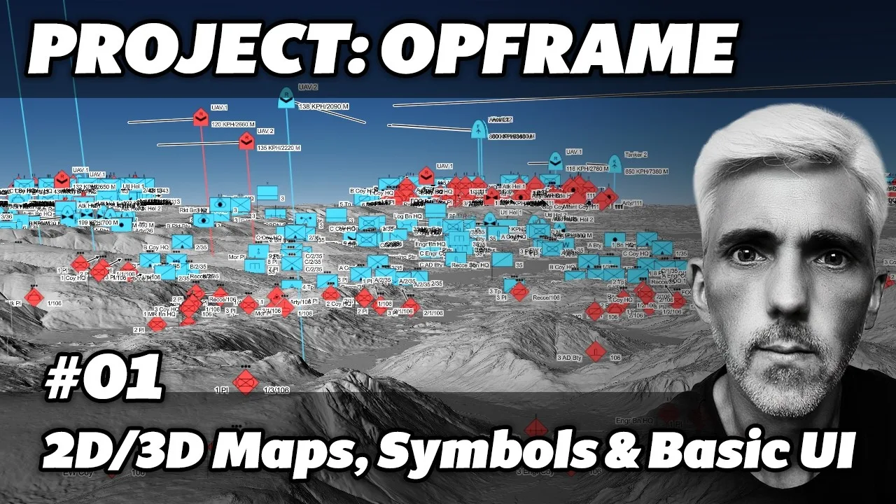
OPFRAME #01 - Starting Out - Map Views, Symbols and Basic UI (opens in a new tab)
An early build, showing the 2D and 3D map views, military symbols and the basic UI.
Explainers
How it works
Explainer · Oct 2026
How is the terrain drawn?
How OPFRAME finds, picks, loads and draws the map tiles behind its terrain, from a tile's address on disk to the shading on screen.
Explainer · Oct 2026
How are the contour lines depth-tested?
Why the contour lines don't need a depth offset. They're worked out in the terrain's own pixel shader, so the only depth test they go through is the ground's.
Explainer · Oct 2026
How does the cloud layer work?
The clouds are a pattern on a thin shell at the cloud base, cut from noise read at five scales and lit by the sun and sky, for a few texture reads per pixel.